Group activity: Present findings and discuss challenges
Duration :
Wrap-up: Feedback and certificates
Duration :
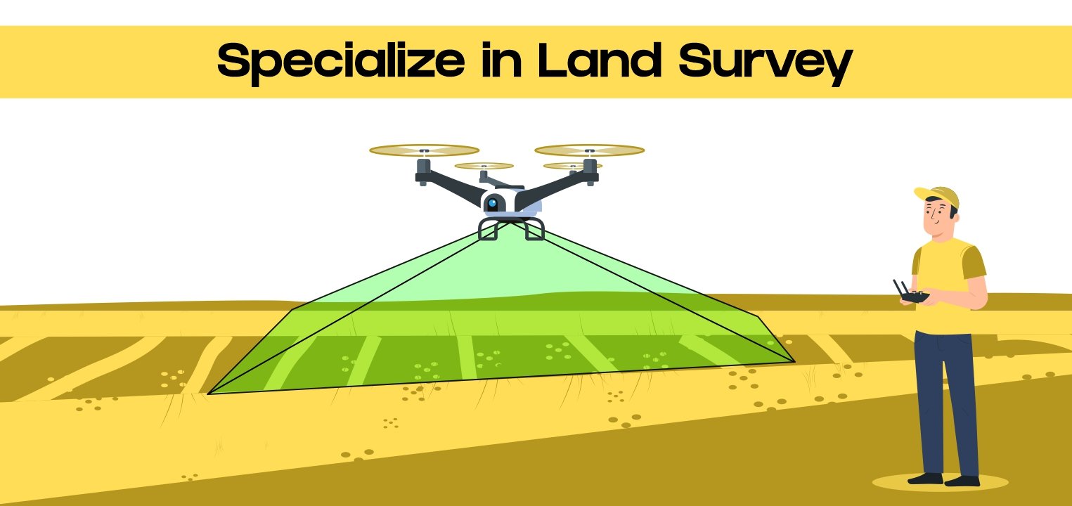
Experience the cutting-edge advancements of drone technology firsthand with our specialized Land Survey course designed for you. Learn how to operate UAV drones for land surveys and mapping with precision and efficiency. DroneLab’s comprehensive curriculum covers a range of topics, including drone operations, aerial photography, photogrammetry, and data processing.
Through practical exercises and personalized training, you’ll master the art of capturing high-resolution aerial images and generating accurate 3D models and maps. From construction to agriculture and environmental monitoring, explore how drones are revolutionizing land surveying in various industries.
Whether you’re a novice or an experienced surveyor, our land survey certificate course offers the perfect blend of theory and practice to elevate your skills and propel your career forward.
Learning Checklist:
• Understanding of drone technology and its applications in land surveying
•Proficiency in conducting land surveys and mapping using UAVs
• Knowledge of aerial photography, photogrammetry, and data processing techniques
• Ability to capture high-resolution aerial images and generate accurate 3D models and maps
• Practical experience in using drones for land surveying in different industries